


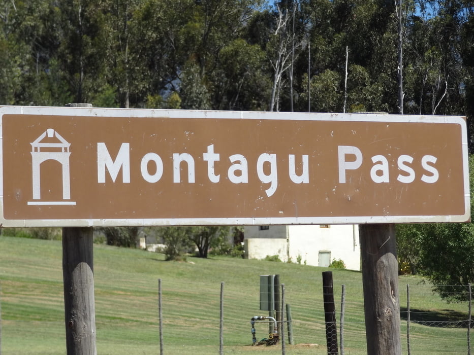
Der Montagu-Pass ist eine schöne Alternative zum Outeniqua-Pass um von der Südküste (George) zur kleinen Karoo (Oudtshoorn/Swartberg-Pass) zu kommen. Der 1847 gebaute Schotter-Strasse führt über die Outeniqua-Berge, eine schöne Berglandschaft. Die Strecke endet auf der N9, welche Richtung Westen nach Oudtshoorn, nach Osten nach Uniondale führt. Wenn es trocken ist, sollte die Fahrt auch mit einem PKW machbar sein.
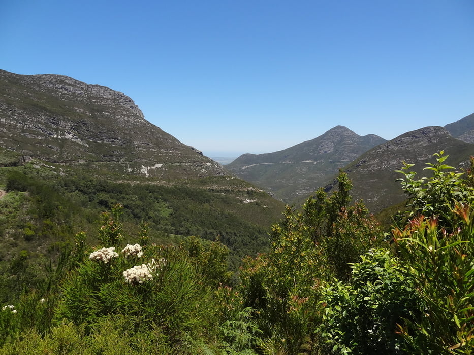
Von der Passhöhe geht ein Wanderweg Richtung Westen/Outeniqua-Pass (2-Pass-Trail) etwa 1,3km bergab wo ein kleiner Bach zu überqueren ist, bevor es wieder steil zum Outeniqua-Pass ansteigt. Leider muss man den gleichen Weg wieder zurück.
================
To drive from the Southern Coast/George to Little Karoo (Oudtshoorn/Swartberg-Pass), Mantagu-Pass is a wonderful alternative to Outeniqua-Pass. The gravel road built 1847 is passing the wonderful Quteniqua Mountains. The trip ends at the N9 heading Westbound to Oudtshoorn or Eastbound to Uniondale. Under dry conditions, the trip with a passenger car should be possible as well.
From pass summit, a hiking trail (2-Pass-Trail) is heading Westbound towards Outeniqua-Pass. After Walking down abound 1,3km you will pass a little Creek before it is rising steep towards the Qutemiqua-Pass. Unfortunately, you have to walk the same way back.
Galería de rutas
Mapa de la ruta y perfil de altitud
Minimum height 277 m
Maximum height 711 m
More about the tour author
|
|
Traenkerluis |
Comentarios

Von George folgen wir der N9/N12 Richtung Norden. Nach George geht es 2x rechts ab zum Montagu-Pass (R404). Gleich hinter George noch in der Ebene oder 3km weiter etwas weiter oben Richtung Outeniqua-Pass.
===============
From George, we are following the N9/N12 Northbound. Behind George, there are 2 junctions to enter the Mantagu-Pass (R404) to the right. Shortly after George (still in the plain area) or 3km later towards Quteniqua-Pass.
Tracks GPS
Puntos del track-
GPX / Garmin Map Source (gpx) download
-
TCX / Garmin Training Center® (tcx) download
-
CRS / Garmin Training Center® (crs) download
-
Google Earth (kml) download
-
G7ToWin (g7t) download
-
TTQV (trk) download
-
Overlay (ovl) download
-
Fugawi (txt) download
-
Kompass (DAV) Track (tk) download
-
Hoja de ruta (pdf) download
-
Original file of the author (gpx) download
More about the tour author
|
|
Traenkerluis |
Add to my favorites
Remove from my favorites
Edit tags
Open track
Mi valoración
Rate