


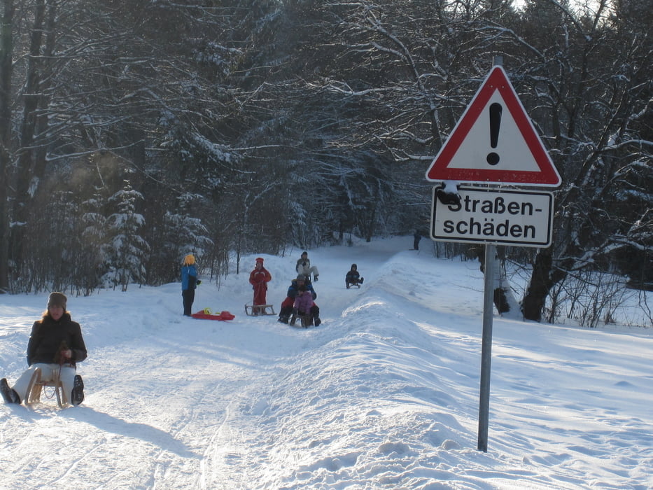
Nette und harmlose Winterwanderung. Vom Parkplatz aus geht es erst südlich, dann Richtung Nord-Ost einen Forstweg hinauf. Achtung beim Wandern, es kommen stets Rodler entgegen. Oben am Berggasthof Huberspitz gibt es zur Belohnung einen schönen Blick über den Schliersee. Ausserdem gibts im Gasthof was zu Essen und davor einen Kinderspielplatz.
Die Rodelei ist harmlos und auch für Anfänger geeignet.
Tour gallery
Tour map and elevation profile
Minimum height 810 m
Maximum height 1057 m
More about the tour author
|
|
Bergmann-Mitzel |
Comments

Autobahn A8 Richtungs Salzburg, Ausfahrt Weyern.
St2073 nach Miesbach und ab dort die B307 Richtung Schliersee.
In Huasham auf die St2076 in Richtung Gmund/Tegernsee, dann noch im Ort links abbiegen in die Alpenstraße. Kurz nach dem Ortsende fahrt Ihr auf den Parkplatz.
GPS tracks
Trackpoints-
GPX / Garmin Map Source (gpx) download
-
TCX / Garmin Training Center® (tcx) download
-
CRS / Garmin Training Center® (crs) download
-
Google Earth (kml) download
-
G7ToWin (g7t) download
-
TTQV (trk) download
-
Overlay (ovl) download
-
Fugawi (txt) download
-
Kompass (DAV) Track (tk) download
-
Track data sheet (pdf) download
-
Original file of the author (gpx) download
More about the tour author
|
|
Bergmann-Mitzel |
Add to my favorites
Remove from my favorites
Edit tags
Open track
My score
Rate