


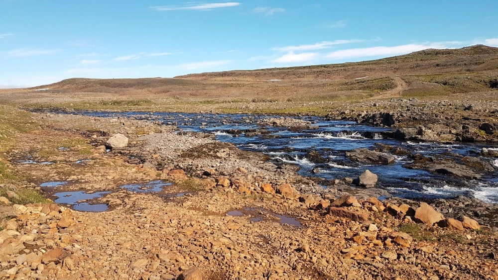
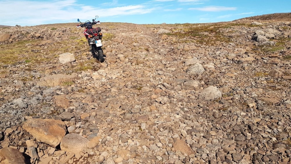
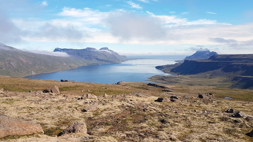
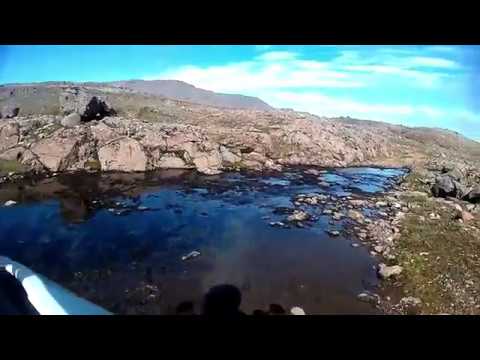
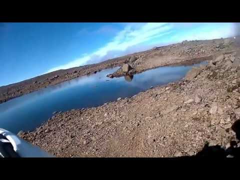
Der Trékyllisheiði Trail befindet sich im östlichen Teil der Westfjorde auf Island.
Auf Karten ist der Trail nur sehr selten durchgehend zu finden und es liegen nur wendige Informationen vor! Deshalb habe ich neben dem Track auch zwei (kurz und lang) You Tube Videos unter folgenden Links abgelegt:
https://youtu.be/eX0nogdPLeQ (6 Minuten Kurzfassung)
https://youtu.be/IkN9O2c-niY (33 Minuten)
Es sollte beachtet werden, dass der Trail doch schon recht anspruchsvoll ist und nur sehr selten befahren wird! Also besser zu Zweit (oder mehr) fahren, oder entsprechend vorsichtig sein.
Empfehlung für Island die Notfall App 112 benutzen!
Tour gallery

Tour map and elevation profile
Minimum height 148 m
Maximum height 496 m
More about the tour author
|
|
BikeWilli |
Comments

Es bietet sich die Anfahrt und Übernachtung von den Campingplätzen in Hölmavik oder Drangsnes über die 645 bzw 643 an. Am Ziel sollte ein Bad in Krossneslaug (HotPot mit Blick auf den Atlantik) eingeplant werden!
GPS tracks
Trackpoints-
GPX / Garmin Map Source (gpx) download
-
TCX / Garmin Training Center® (tcx) download
-
CRS / Garmin Training Center® (crs) download
-
Google Earth (kml) download
-
G7ToWin (g7t) download
-
TTQV (trk) download
-
Overlay (ovl) download
-
Fugawi (txt) download
-
Kompass (DAV) Track (tk) download
-
Track data sheet (pdf) download
-
Original file of the author (gpx) download
More about the tour author
|
|
BikeWilli |
Add to my favorites
Remove from my favorites
Edit tags
Open track
My score
Rate