Login

Si pozabil/a podatke za prijavo?

Cookies have to be accepted!
Your browser's cookie functionality is disabled. Please enable this functionality.

Not a member yet?

Register now
Login

Available for registred users only

Log in to use this feature.

Si pozabil/a podatke za prijavo?

Cookies have to be accepted!
Your browser's cookie functionality is disabled. Please enable this functionality.

Not a member yet?

Register now
Filter
Kategorije
Advanced filters
  • Dolžina (km)
  • Metri nadmorske višine
Shrani filter Reset filter

TrackRank

QRCode

Technical data

Dolžina10,7 km Metri nadmorske višine249 m Way down251 m Trajanje00:00 h:m Datum21.01.2018
Ocene Author Pokrajina Dejavnik zabave Kondicija Tehnika

Statistika

1083 Pogledi Ocene 3 Prenosi Povprečje
Rate
  • List z izleti
  • Prihod
  • Prenosi
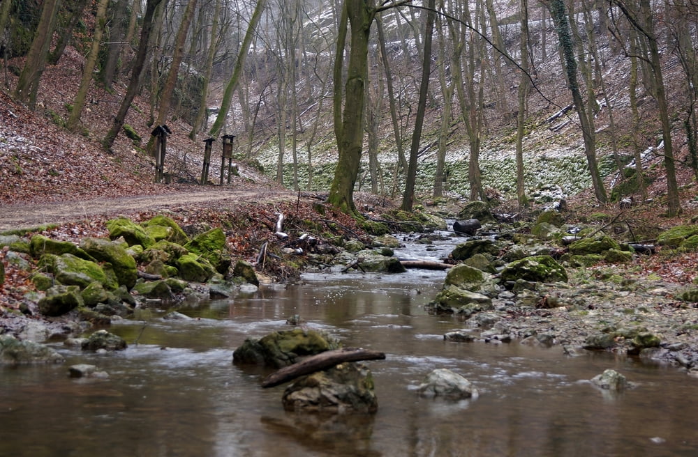
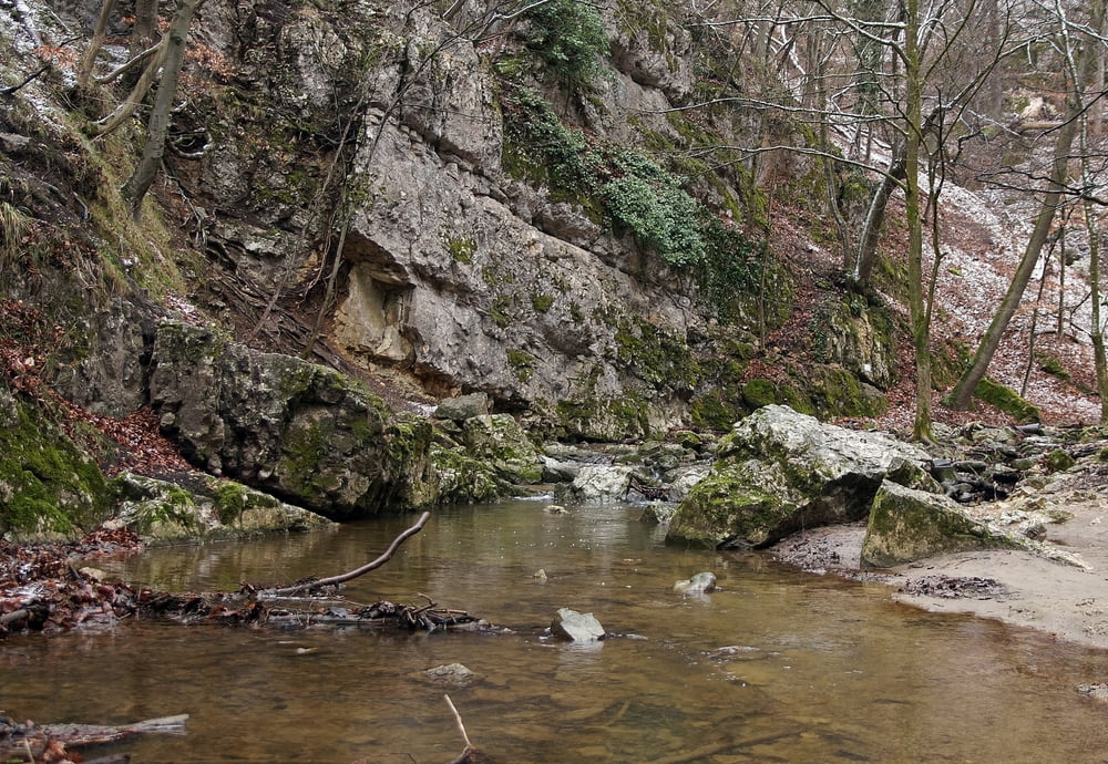
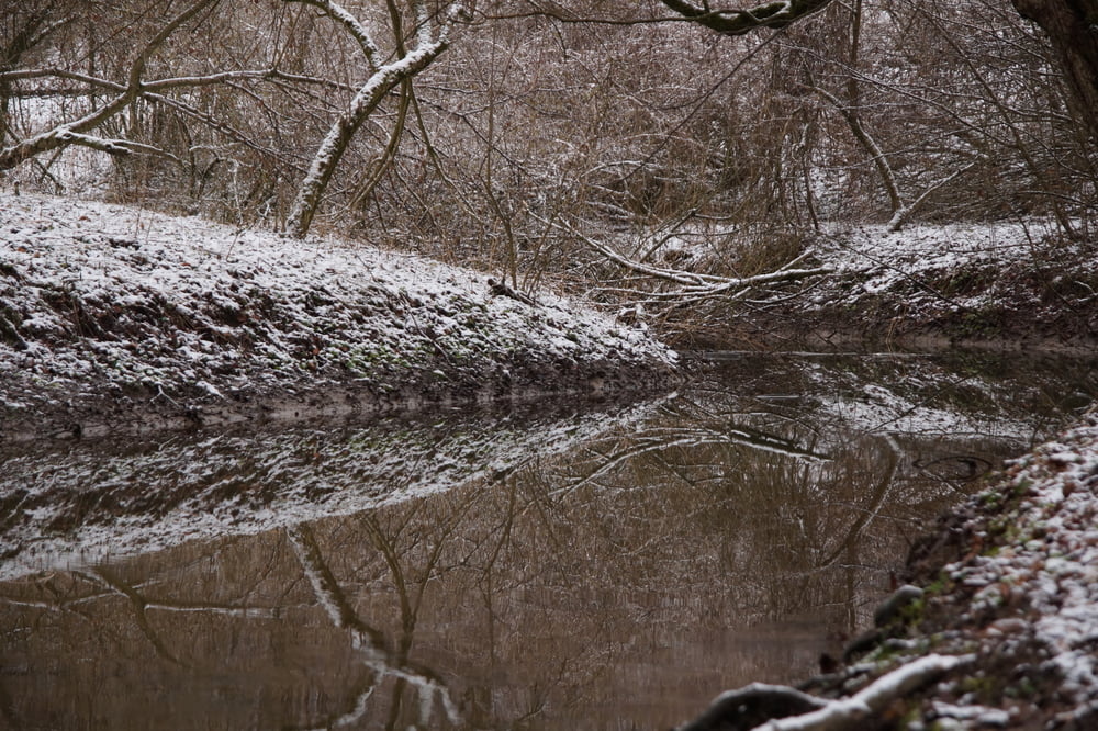
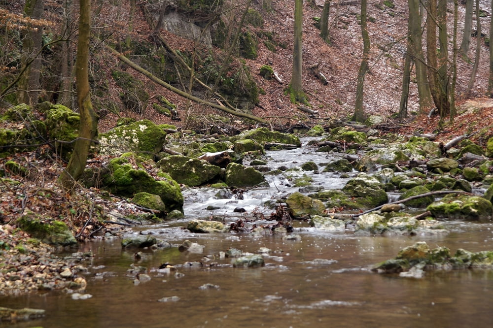
Vinyéről indulva séta a Cuha-szurdokban, többször átkelve a patakon, majdfel a Tönkölös hegyre és onnan le Csesznekre.

Galerija izletov

Zemljevid in višinski profil izleta

  • Open Street Map
  • Google
Minimum height 255 m Maximum height 480 m Prikaz podrobnosti

More about the tour author

Tulilui
Member since 2017

Send private message

Komentarji

Vonattal a Veszprém-Győr vasútvonalon. Vissza buszjáratok a 82-es főúton.

Poti GPS

Trackpoints
  • GPX / Garmin Map Source (gpx) download
  • TCX / Garmin Training Center® (tcx) download
  • CRS / Garmin Training Center® (crs) download
  • Google Earth (kml) download
  • G7ToWin (g7t) download
  • TTQV (trk) download
  • Overlay (ovl) download
  • Fugawi (txt) download
  • Kompass (DAV) Track (tk) download
  • List z izleti (pdf) download
  • Original file of the author (gpx) download

More about the tour author

Tulilui
Member since 2017

Send private message
Share track
Add to my favorites
Remove from my favorites
Edit tags
My score
Rate
Izlet: Cuha-szurdok-Csesznek.
Vrsta: Pešačenje
Dolžina: 10,7 km
Evaluated on:
Trajanje:
Day(s)
Hour(s)
Minute(s)
Ocena: Pokrajina Dejavnik zabave Kondicija Tehnika