


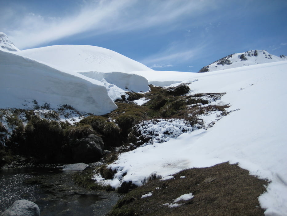
Start an der Therme Chillan. Den Anstieg wählen wir über einen heißen Bach, der Gegenansteieg ist mehr als lohnend. Handtuch nicht vergessen. Am Graterrand herrliche Aussicht, auch wenn es manchmal komisch riecht.
Galerie du tour
Carte du tour et altitude
Minimum height 1621 m
Maximum height 3141 m
More about the tour author

|
Klaus112 |
Commentaires

Über die Stadt Chillan zur Therme Chillan (Straßenende)
Tracks GPS
Trackpoints-
GPX / Garmin Map Source (gpx) download
-
TCX / Garmin Training Center® (tcx) download
-
CRS / Garmin Training Center® (crs) download
-
Google Earth (kml) download
-
G7ToWin (g7t) download
-
TTQV (trk) download
-
Overlay (ovl) download
-
Fugawi (txt) download
-
Kompass (DAV) Track (tk) download
-
Feuille de tours (pdf) download
-
Original file of the author (gpx) download
More about the tour author
|
|
Klaus112 |
Add to my favorites
Remove from my favorites
Edit tags
Open track
My score
Rate