Login

Login oublié ?

Cookies have to be accepted!
Your browser's cookie functionality is disabled. Please enable this functionality.

Not a member yet?

Register now
Login

Available for registred users only

Log in to use this feature.

Login oublié ?

Cookies have to be accepted!
Your browser's cookie functionality is disabled. Please enable this functionality.

Not a member yet?

Register now
Filter
Catégories
Advanced filters
  • Longueur (km)
  • Altimètre
Enregistrer le filtre Reset filter

TrackRank

QRCode

Technical data

Longueur31,0 km Altimètre809 m Way down801 m Durée05:00 h:m Date13.03.2018
Evaluations Author Paysage Aspect amusement Condition Technique

Statistiques

527 Vues Evaluations 13 Téléchargements Moyenne
Rate
  • Feuille de tours
  • Arrivée
  • Téléchargements
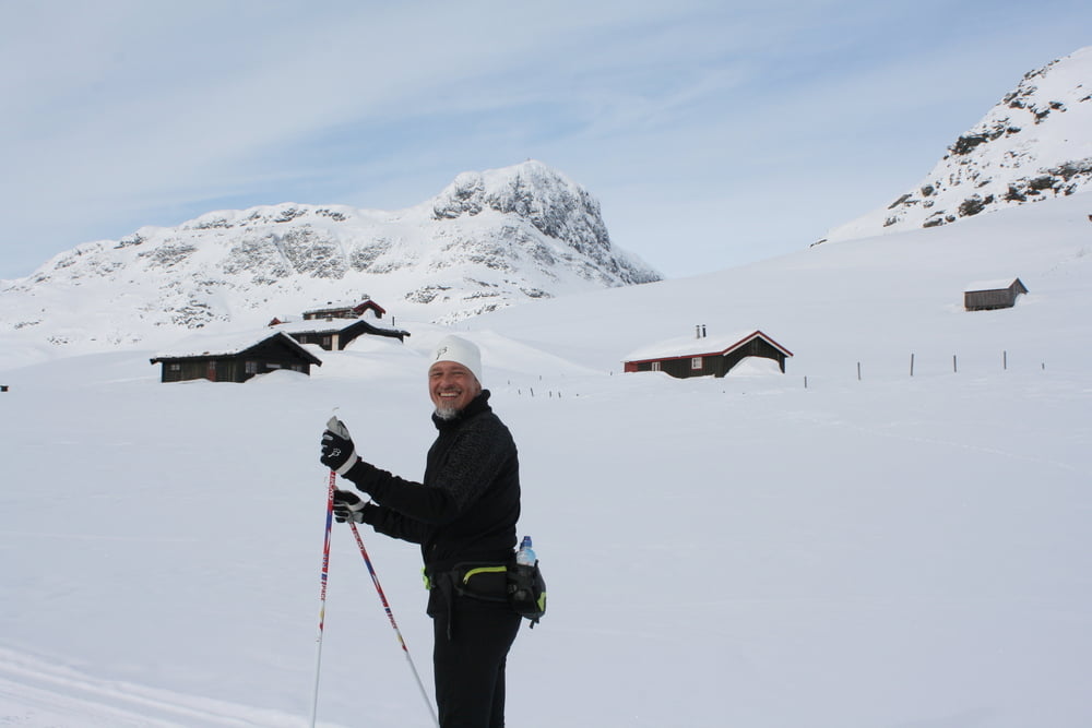
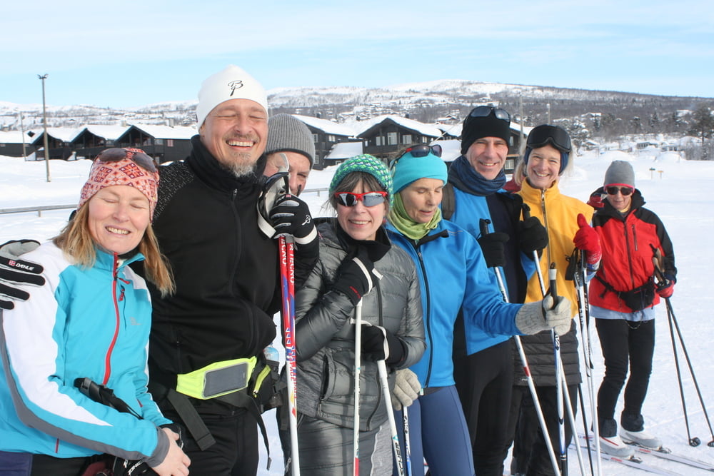
Beitostolen Langlaufstrecke, möglicherweise auch ohne Schnee für andere Aktivitäten nutzbar. Landschaftlich wirklich sehr schön ;-)

Galerie du tour

Carte du tour et altitude

  • Open Street Map
  • Google
Minimum height 817 m Maximum height 1248 m Vue de détail

More about the tour author

Daxtuning
Member since 2018

Send private message

Commentaires

Start bei Sportstadion Beitostolen

Tracks GPS

Trackpoints
  • GPX / Garmin Map Source (gpx) download
  • TCX / Garmin Training Center® (tcx) download
  • CRS / Garmin Training Center® (crs) download
  • Google Earth (kml) download
  • G7ToWin (g7t) download
  • TTQV (trk) download
  • Overlay (ovl) download
  • Fugawi (txt) download
  • Kompass (DAV) Track (tk) download
  • Feuille de tours (pdf) download
  • Original file of the author (tcx) download

More about the tour author

Daxtuning
Member since 2018

Send private message
Share track
Add to my favorites
Remove from my favorites
Edit tags
My score
Rate
Tour: Beitostolen Route 31 Km
Cat.: Ski de fond
Longueur: 31,0 km
Evaluated on:
Durée:
Day(s)
Hour(s)
Minute(s)
Evaluation: Paysage Aspect amusement Condition Technique