Login

Forgot your login?

Cookies have to be accepted!
Your browser's cookie functionality is disabled. Please enable this functionality.

Not a member yet?

Register now
Login

Available for registred users only

Log in to use this feature.

Forgot your login?

Cookies have to be accepted!
Your browser's cookie functionality is disabled. Please enable this functionality.

Not a member yet?

Register now
Filter
Categories
Advanced filters
  • Distance (km)
  • Height
Save filters Reset filter

TrackRank

QRCode

Technical data

Distance32,3 km Height416 m Way down384 m Duration04:31 h:m Date09.12.2018
Scores Author Landscape Fun factor Fitness Technique

Statistics

182 Views Scores 3 Downloads Average
Rate
  • Track data sheet
  • Directions
  • Downloads
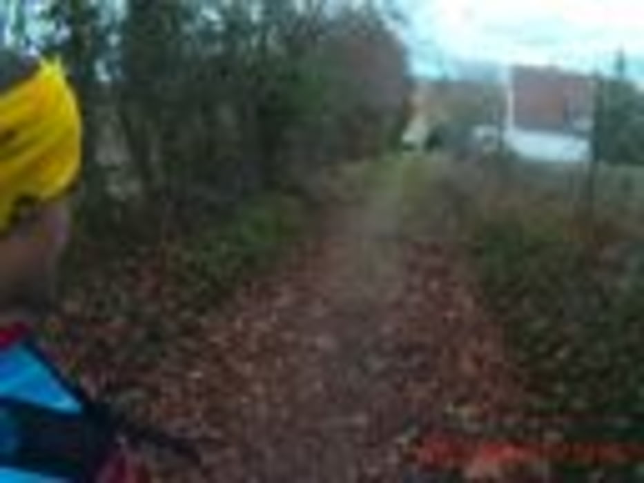
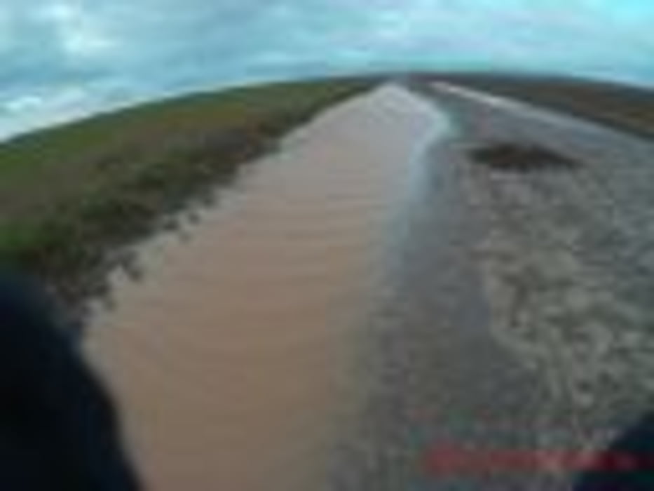
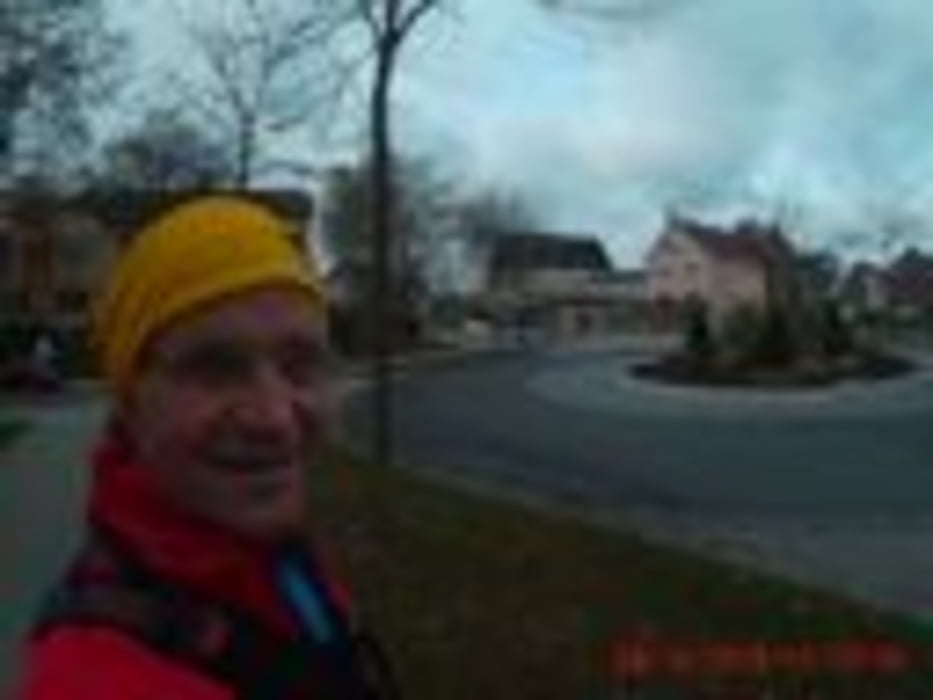
Heute gings nach Dettelbach, 6 Grad, KEIN Regen, der Lauf, nach Osten mit Rückenwind hat einem fast Flügel wachsen lassen ;-) Der Weg dorthin eine Agro-Wüste. Kaum Hecken oder Bäume? Dieses Mal hatte ich warmen Tee dabei , statt kalten! Der Rückweg war gekennzeichnet von extremen Gegenwind! Mein "Fußgänger-Navi" beherrsche ich immer besser und durfte wieder Wege gehen die ich vor noch nie betreten hatte! ;-)

Tour gallery

Tour map and elevation profile

  • Open Street Map
  • Google
Minimum height 190 m Maximum height 309 m Detailed view

More about the tour author

Perikles
Member since 2018

Send private message

Comments

GPS tracks

Trackpoints
  • GPX / Garmin Map Source (gpx) download
  • TCX / Garmin Training Center® (tcx) download
  • CRS / Garmin Training Center® (crs) download
  • Google Earth (kml) download
  • G7ToWin (g7t) download
  • TTQV (trk) download
  • Overlay (ovl) download
  • Fugawi (txt) download
  • Kompass (DAV) Track (tk) download
  • Track data sheet (pdf) download
  • Original file of the author (gpx) download

More about the tour author

Perikles
Member since 2018

Send private message
Share track
Add to my favorites
Remove from my favorites
Edit tags
My score
Rate
Track: Gerbrunn=>Rottendorf=>Effeldorf=>Dettelbach
Type: Running
Distance: 32,3 km
Evaluated on:
Duration:
Day(s)
Hour(s)
Minute(s)
Score: Landscape Fun factor Fitness Technique