
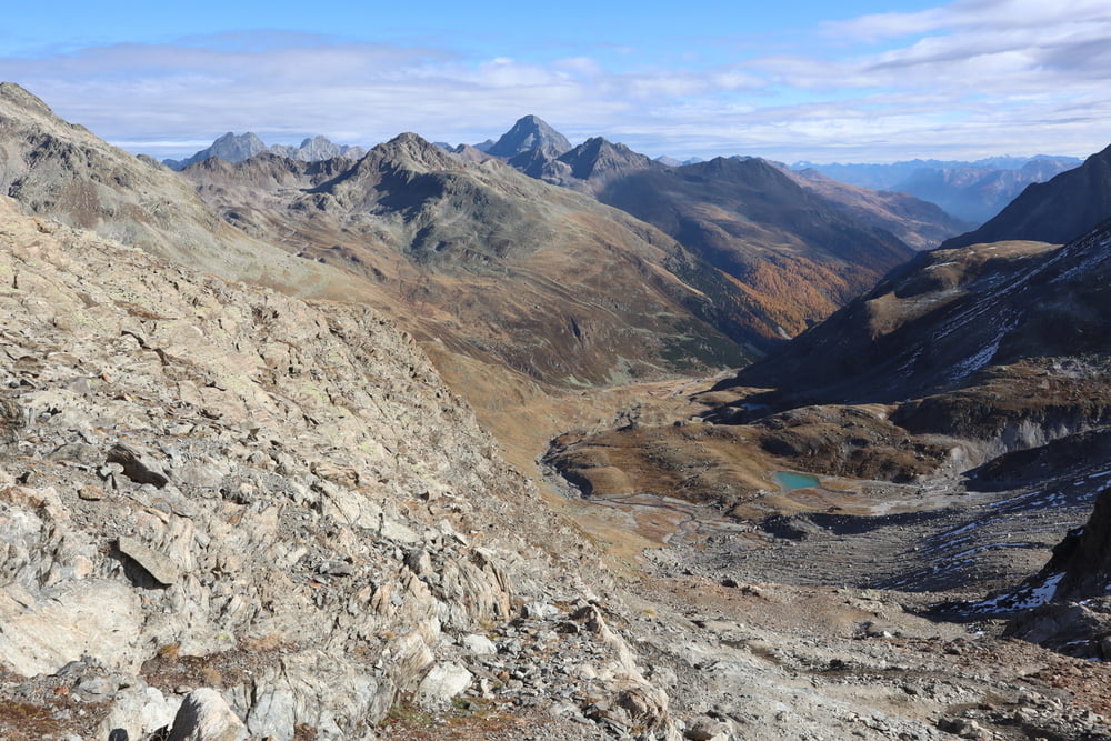

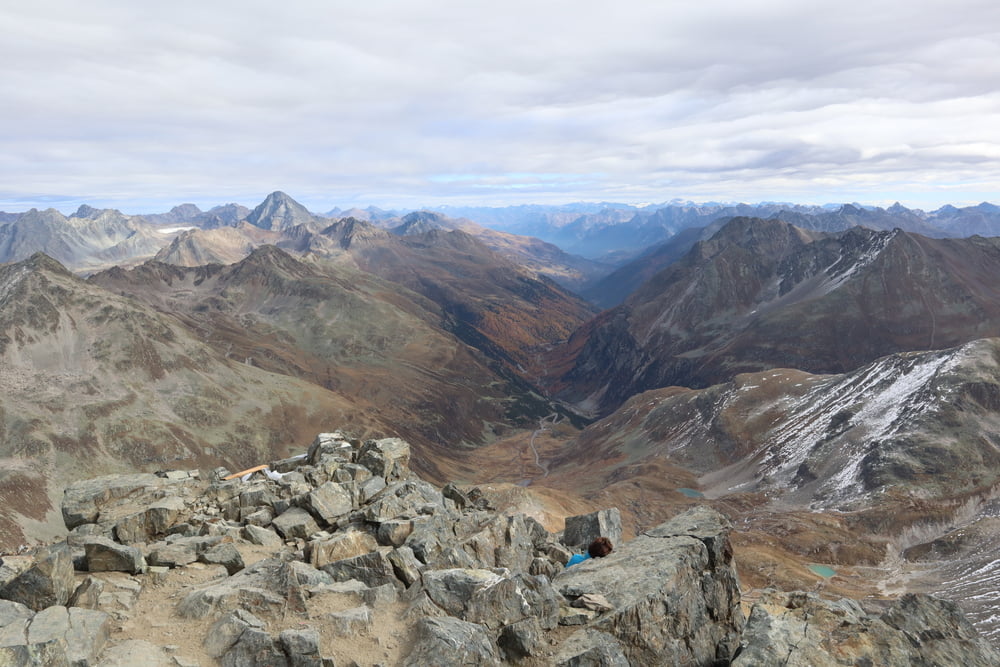
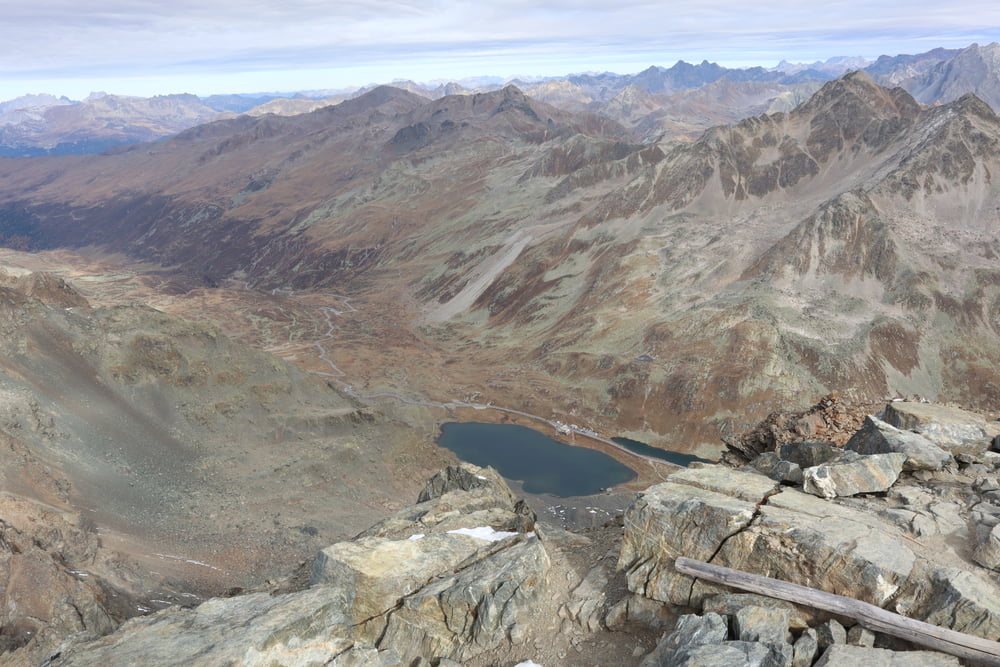
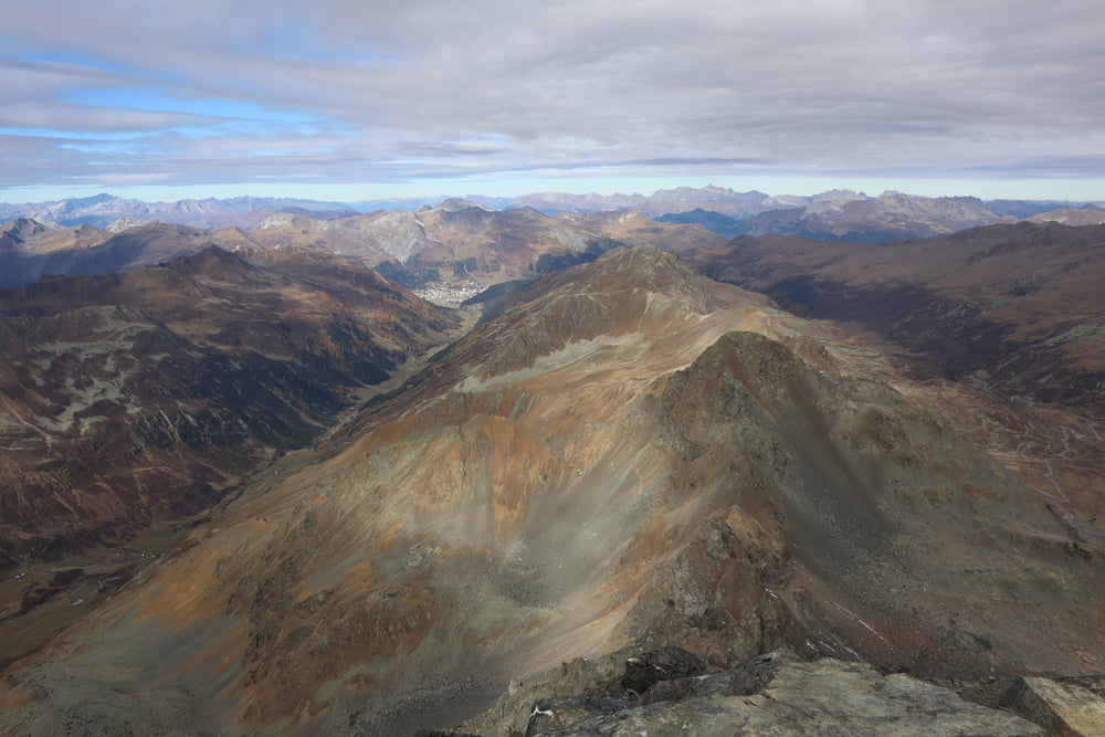
Für dieses Höhenniveau ein recht einfach zu gehender Weg. Schmaler Wanderpfad, gut signalisiert. Traumhafte Aussicht. Gleicher Weg für den Abstieg.
Tour gallery
Tour map and elevation profile
Minimum height 2335 m
Maximum height 3145 m
More about the tour author
|
|
s-braeutigam |
Comments

Der Ausgangsort der Wanderung liegt auf Engadiner Seite etwas unterhalb der Passhöhe.
Parkplätze sind ausreichend vorhanden. Falls der Parkplatz direkt am Ausgangspunkt der Wanderung überfüllt ist, so gibt es in 100-200 Meter in jeder Richtung weitere Möglichkeiten.
GPS tracks
Trackpoints-
GPX / Garmin Map Source (gpx) download
-
TCX / Garmin Training Center® (tcx) download
-
CRS / Garmin Training Center® (crs) download
-
Google Earth (kml) download
-
G7ToWin (g7t) download
-
TTQV (trk) download
-
Overlay (ovl) download
-
Fugawi (txt) download
-
Kompass (DAV) Track (tk) download
-
Track data sheet (pdf) download
-
Original file of the author (gpx) download
More about the tour author
|
|
s-braeutigam |
Add to my favorites
Remove from my favorites
Edit tags
Open track
My score
Rate