

Sonthofen
Schrofenpass
St. Anton
Ischgl
Fimberpass
Reschenpass
Umbrailpass
Bormio
Gaviapass
Der Gaviatrail ist extrem schwer, fast nicht mehr befahrbar!
Nur für absolute Dowhnhillspezialisten befahrbar, wir habe von den 700m ca 600m runter geschoben !
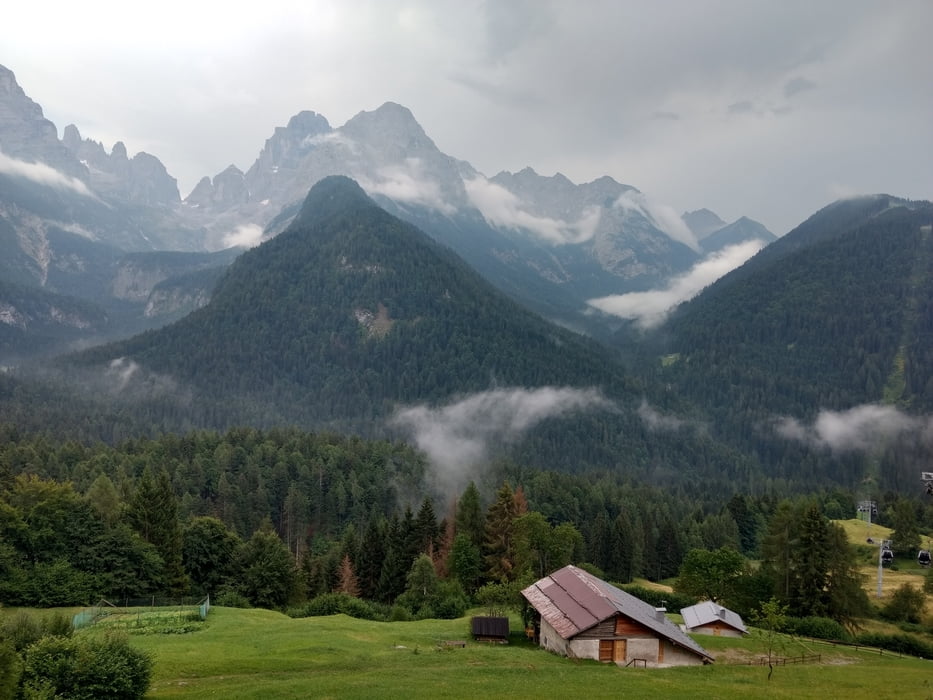
Madonna di Campilio
Riva
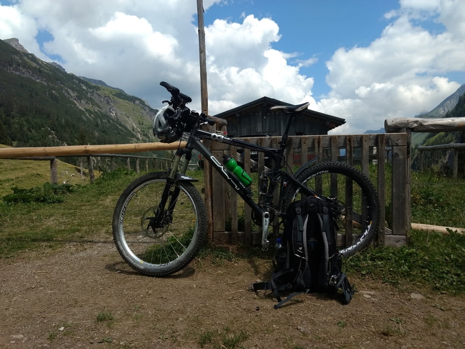
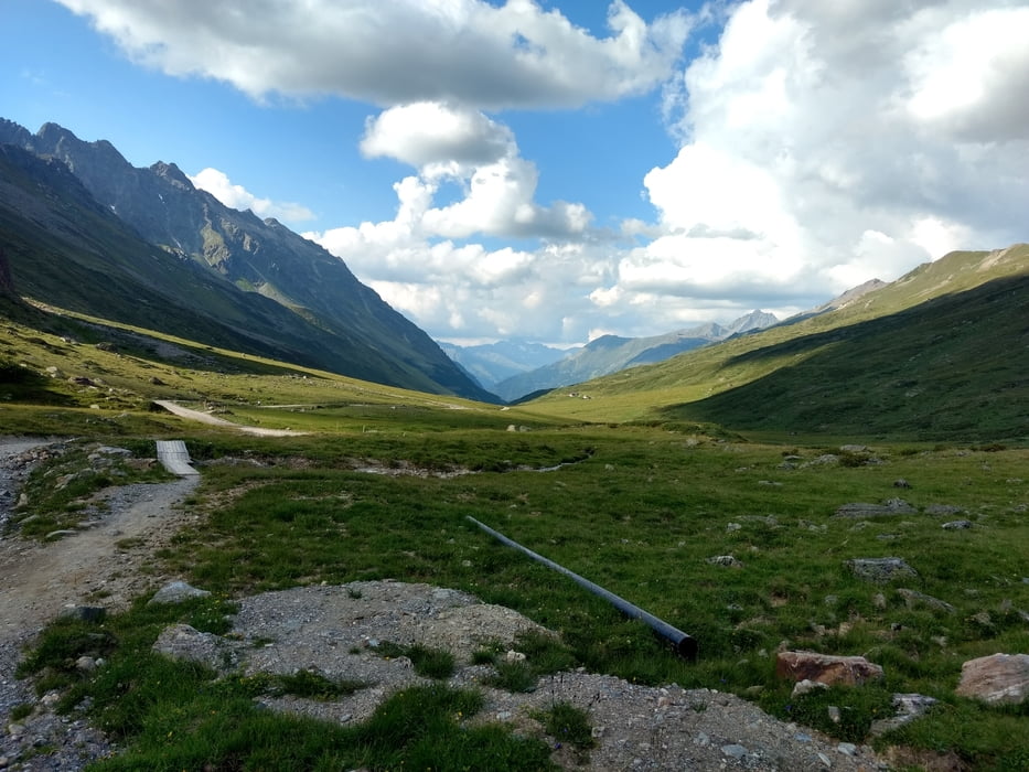
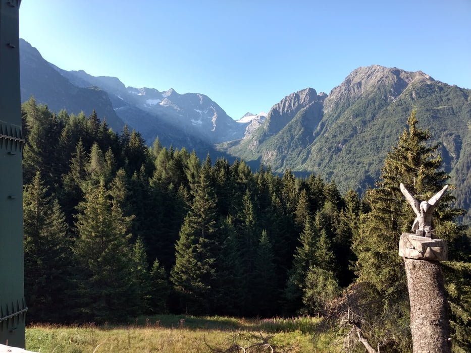
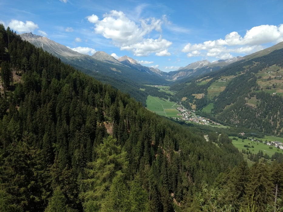
Tour gallery
Tour map and elevation profile
Minimum height 139 m
Maximum height 2608 m
More about the tour author
|
|
HCSBiker |
Comments

GPS tracks
Trackpoints-
GPX / Garmin Map Source (gpx) download
-
TCX / Garmin Training Center® (tcx) download
-
CRS / Garmin Training Center® (crs) download
-
Google Earth (kml) download
-
G7ToWin (g7t) download
-
TTQV (trk) download
-
Overlay (ovl) download
-
Fugawi (txt) download
-
Kompass (DAV) Track (tk) download
-
Track data sheet (pdf) download
-
Original file of the author (gpx) download
More about the tour author
|
|
HCSBiker |
Add to my favorites
Remove from my favorites
Edit tags
Open track
My score
Rate