


Nach einer Übernachtung auf der gastlichen Glorerhütte geht es 3/4 Std. hinauf auf das Kastenegg. Herrlicher Blick zurück zum Großglockner und Schwerteck. Über Almgebiet kommt man in 1/2 Std. hinunter zum Peischlachtörl. Hierher kann man auch ohne Besteigung des Kasteneggs gelangen.
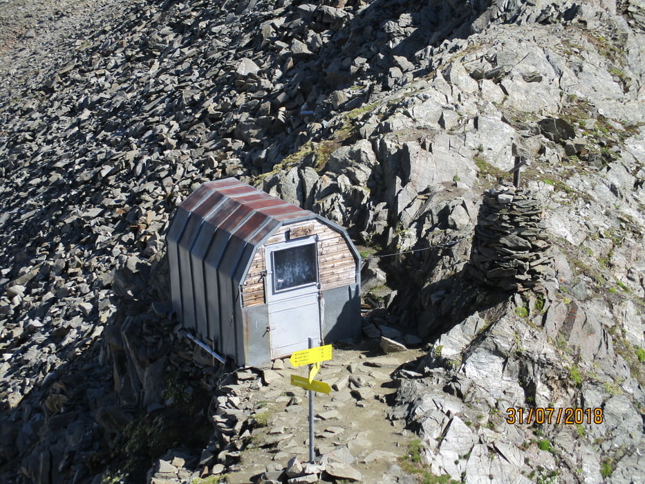
Für den Weiterweg nehmen wir den Steig Richtung Eberfelder Hütte hinauf zum Gernot-Röhr-Biwack, welches in 1 1/4 Std. erreicht wird. Hier rechts halten und entlang des Grates über zwei Aufschwünge zum Gipfel des Bösen Weibl (1 Std.).
Für den Rückweg hinunter zum Sattel und weiter rechts abwärts zum Peischlachtörl. Hier links hinaus zur Nigglalm und zum Lucknerhaus (2 1/2 Std.).
Tour gallery
Tour map and elevation profile
Minimum height 1904 m
Maximum height 3123 m
More about the tour author

|
JoHangler |
Comments

Auf der Felbertrauernstraße von Mittersill oder Lienz bis nach Huben. Hier das Kalser Tal aufwärts nach Kals. Am Ortsende auf der Mautstraße durch das Ködnitztal hinauf zum Lucknerhaus.
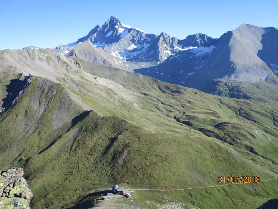
Von hier in knapp 2 Std. zur Glorerhütte.
GPS tracks
Trackpoints-
GPX / Garmin Map Source (gpx) download
-
TCX / Garmin Training Center® (tcx) download
-
CRS / Garmin Training Center® (crs) download
-
Google Earth (kml) download
-
G7ToWin (g7t) download
-
TTQV (trk) download
-
Overlay (ovl) download
-
Fugawi (txt) download
-
Kompass (DAV) Track (tk) download
-
Track data sheet (pdf) download
-
Original file of the author (gpx) download
More about the tour author
|
|
JoHangler |
Add to my favorites
Remove from my favorites
Edit tags
Open track
My score
Rate