


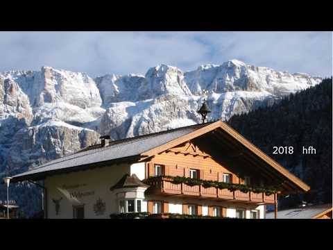
Wenige Meter vom Monte Pana entfernt sind im Alt- und Neuschnee weder Weg noch Fussspuren zu erkennen: als Alleinwanderer schaffen digitale Karte und GPS Sicherheit. So geht es im tiefen Schnee zunächst nach SW und nach ca. 1,5 km nach SO langsam bergan. Es wird etwas steiler und der Langkofel rückt immer näher. Dann führt der Weg scharf rechts ab unterhalb der Wände des Plattkofels zum Piza da Uridl, dann nach SW Richtung "Zallinger". Unterhalb der Murmeltier- Hütte dann scharf rechts und im weiten Tal zurück zum Monte Pana.
Tour gallery


Tour map and elevation profile
Minimum height 1623 m
Maximum height 2125 m
More about the tour author
|
|
heinz-57 |
Comments

Normalerweise fährt man von St. Christina auf der Streda Pana zum Monte Pana. Diese war aber spiegelglatt, selbst mit Allrad/ Winterreifen war ohne Schneeketten keine Affahrt möglich: also noch einige km zusätzlich laufen...
GPS tracks
Trackpoints-
GPX / Garmin Map Source (gpx) download
-
TCX / Garmin Training Center® (tcx) download
-
CRS / Garmin Training Center® (crs) download
-
Google Earth (kml) download
-
G7ToWin (g7t) download
-
TTQV (trk) download
-
Overlay (ovl) download
-
Fugawi (txt) download
-
Kompass (DAV) Track (tk) download
-
Track data sheet (pdf) download
-
Original file of the author (gpx) download
More about the tour author
|
|
heinz-57 |
Add to my favorites
Remove from my favorites
Edit tags
Open track
My score
Rate