


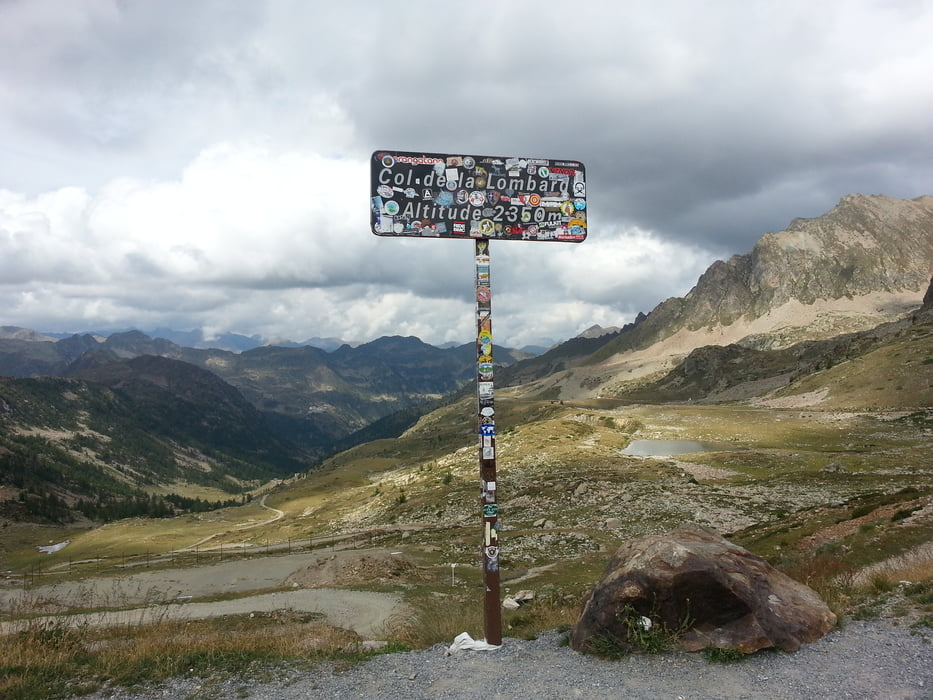
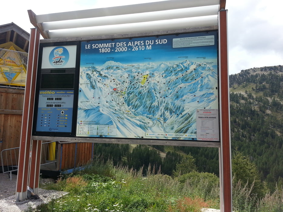
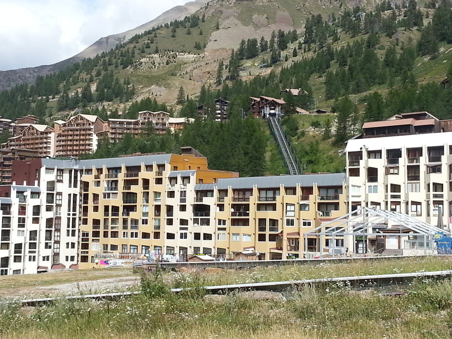
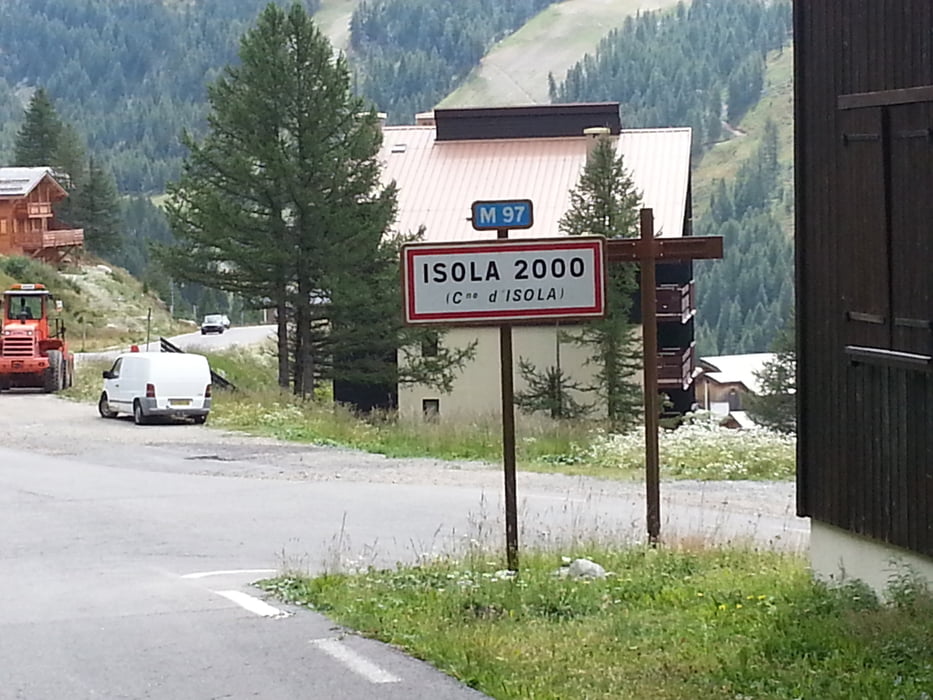
Los geht es von dem vorzüglichen Albergo Della Pace*** in Sambuco 1184m talwärts bis Pratolungo 889m. Ab hier geht die Auffahrt zum Col de la Lombarde 2350m los, die sich rund 20km mit einigen steilen Rampen zum Paß zieht. Wirklich beeindruckende Landschaft, schade das dieser Übergang im Winter gesperrt ist. Oben überquert man die Grenze von Piemont zum Département Alpes-Maritimes und befindet sich im Nationalpark Mercantour. Vom Paß geht es hinunter nach Isola 2000 einer typisch französischen Skistation. Von dort 23km abwärts auf genialer Straße. Meinen Tourentag beende ich dann im warmen Isola 881m.
Further information at
http://de.france.fr/de/sehenswert/der-nationalpark-mercantourTour gallery
Tour map and elevation profile
Minimum height 899 m
Maximum height 2345 m
More about the tour author
|
|
Sport2008 |
Comments

siehe Tour 126692. 1.Tag Westalpen-2013 Aussois 1500m-Bardonecchia 1312m
GPS tracks
Trackpoints-
GPX / Garmin Map Source (gpx) download
-
TCX / Garmin Training Center® (tcx) download
-
CRS / Garmin Training Center® (crs) download
-
Google Earth (kml) download
-
G7ToWin (g7t) download
-
TTQV (trk) download
-
Overlay (ovl) download
-
Fugawi (txt) download
-
Kompass (DAV) Track (tk) download
-
Track data sheet (pdf) download
-
Original file of the author (gpx) download
More about the tour author
|
|
Sport2008 |
Add to my favorites
Remove from my favorites
Edit tags
Open track
My score
Rate